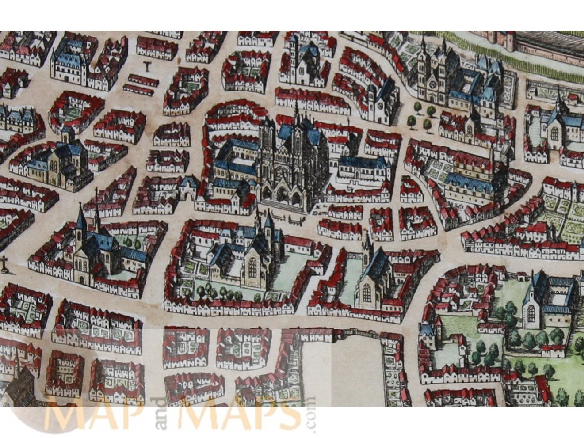
France Reims town plan Reims en Champagne by Mattheus Merian 1638.
Title: Reims en Champagne.
Description: Old, antique 17th century town plan of Reims France, copperplate en-graved with hand coloring.
Origin: Theatrum Europaeum.
Mapmaker: Matthäus Merian. (Basel, 22 September 1593 - Bad Schwalbach, 19 June 1650) In 1623 Merian took over the publishing house of his father-in-law after de Bry's death. In 1626 he became a citizen of Frankfurt and could henceforth work as an independ-ent publisher.
16th -17th -18th-19th Century maps & atlases & prints. We sell guaranteed Absolutely Original authentic Maps and Prints.
A Certificate of Authenticity ( COA ) will be supplied on request. We ship our antique items across the world.
Sheet app.: 11.25 x 15 inches. 29 x 38 cm. Image app.: 8.25 x 13 inches. 21 x 32.5 cm. Condition: Very good, verso blanco.