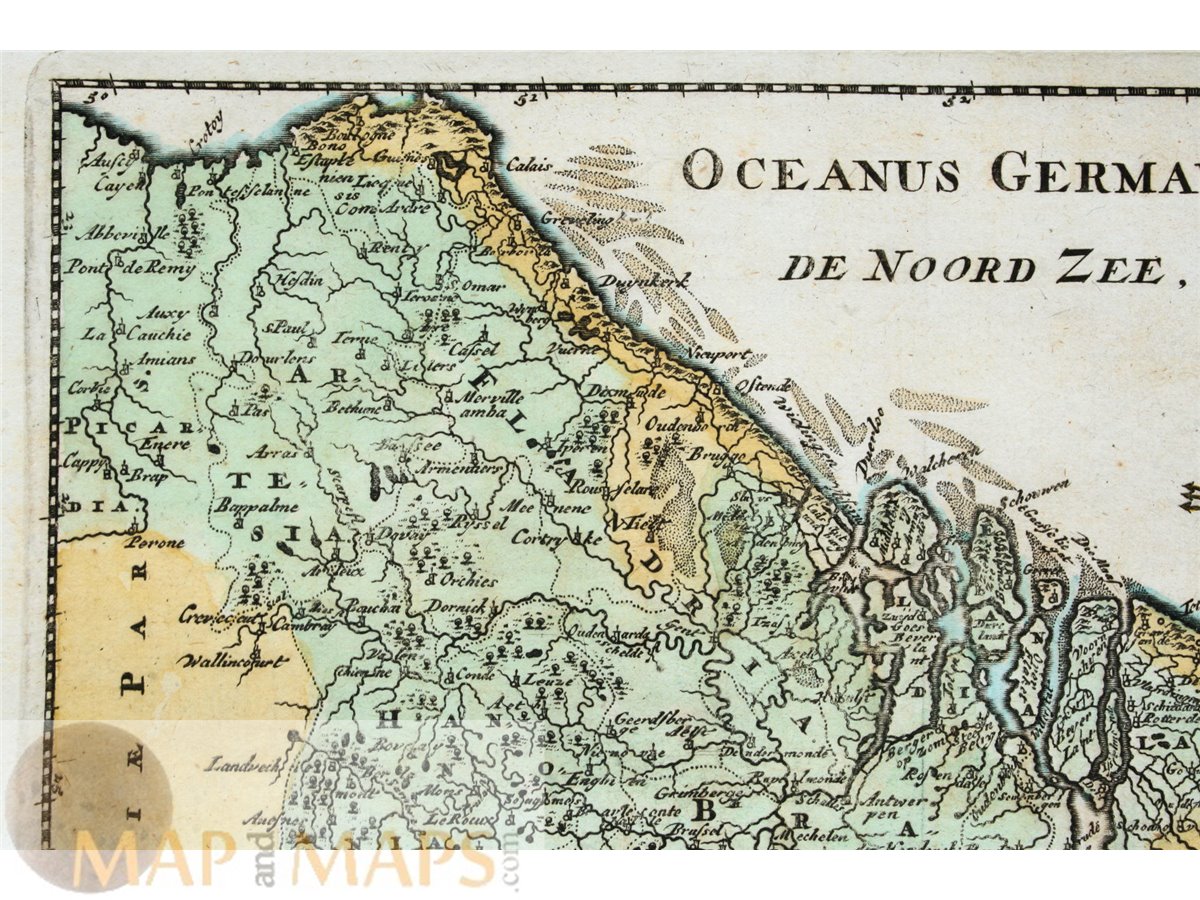
Holland Belgium Luxembourg map Belgicae Cluver 1697
Fine detailed copperplate engraved map of the Low Countries Netherlands, Belgium and Luxembourg with a attractive title cartouche.
Title : Hodierna Belgicae vive Germaniae inFerioris Tabula.
Author: Phillip Cluver, or Phillip Cluverius, Philipp Clüver, Latinized as Philippus Cluverius studied law in Leiden and settled over there in 1615. For: Cluver's Introductionis in universam geographiam. (edited by Johann Friedrich Heckel in the 17thcentury.)
16th -17th -18th-19th Century maps & atlases & prints. ORIGINAL ANTIQUE COPPER PLATE ENGRAVING, HAND COLORED. Engraving is Absolutely Guaranteed authentic original map. A Certificate of Authenticity ( COA ) will be supplied on request.
Sheet app.: 30 x 25 cm. 11.75 x 9.75 inches. Image app.: 25 x 20 cm. 9.75 x 7.75 inches. Condition: Very good engraved map, folds as published.