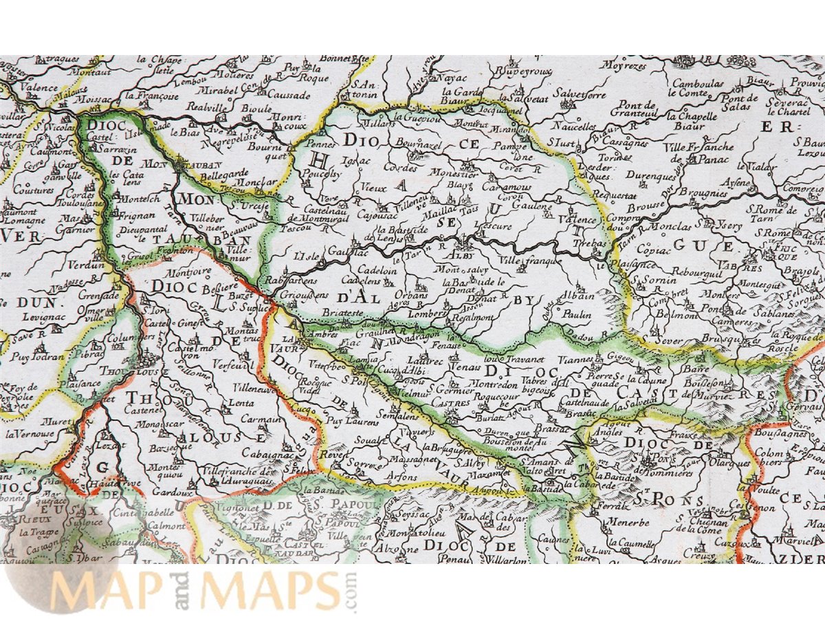
Title: Gouvernem[en]t gén[é]ral du Languedoc, divisé en ses vingt deux diocéses / par le S. Sanson d'Abbeville...
Description: Beautifully antique map of the Languedoc region France, from the Midi-Pyrenees region in the west to the Bouches du Rhone in the east, mountains in the southwest of the map in the Pyrenees region.
Copperplate engraved map on laid paper, in outline colors, with title and mile scale cartouches.
Cartographer: Nicolas Sanson (1600–1667) was a French cartographer. He was born of an old Picardy family of Scottish descent, at Abbeville, on the 20th (or 31st) of December 1600, and was educated by the Jesuits at Amiens. He was appointed as Ordinary Geographer to the King.
16th -17th -18th-19th Century maps & atlases & prints. We sell guaranteed Absolutely Original authentic Maps and Prints. A Certificate of Authenticity ( COA ) will be supplied on request.
Sheet app.: 24x 18 inch. - 60 x 46 cm. Image: 21.25 x 16.25 inch. 54x 41.5 cm. Condition: Excellent, no defect, nice coloring.