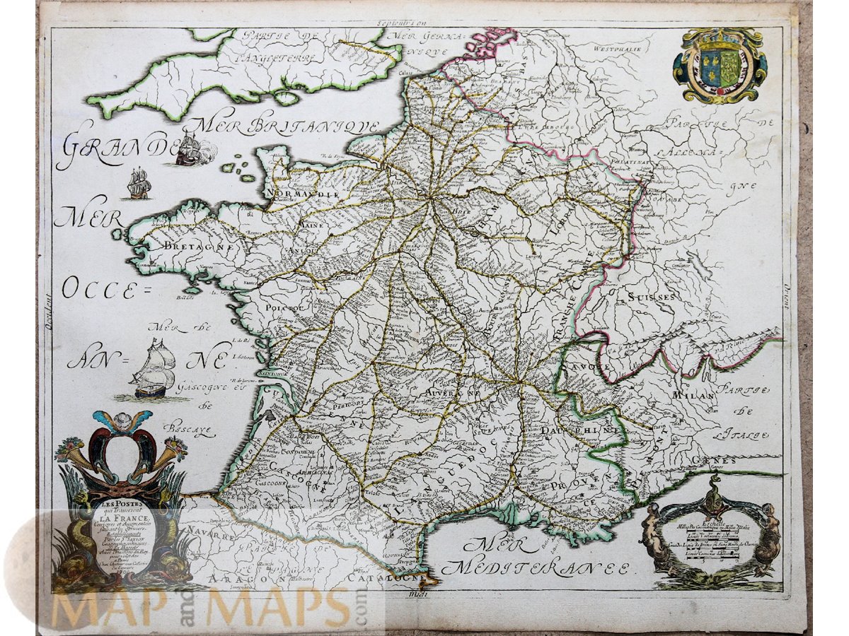
Title: Les postes qui traversent la France, corrigées et augmentées suivant les derniers establissements par les Srs Sanson.
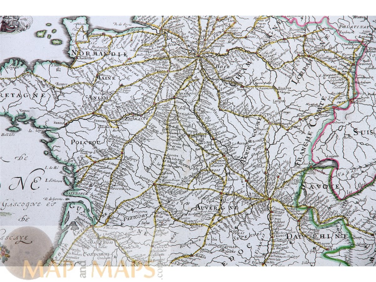
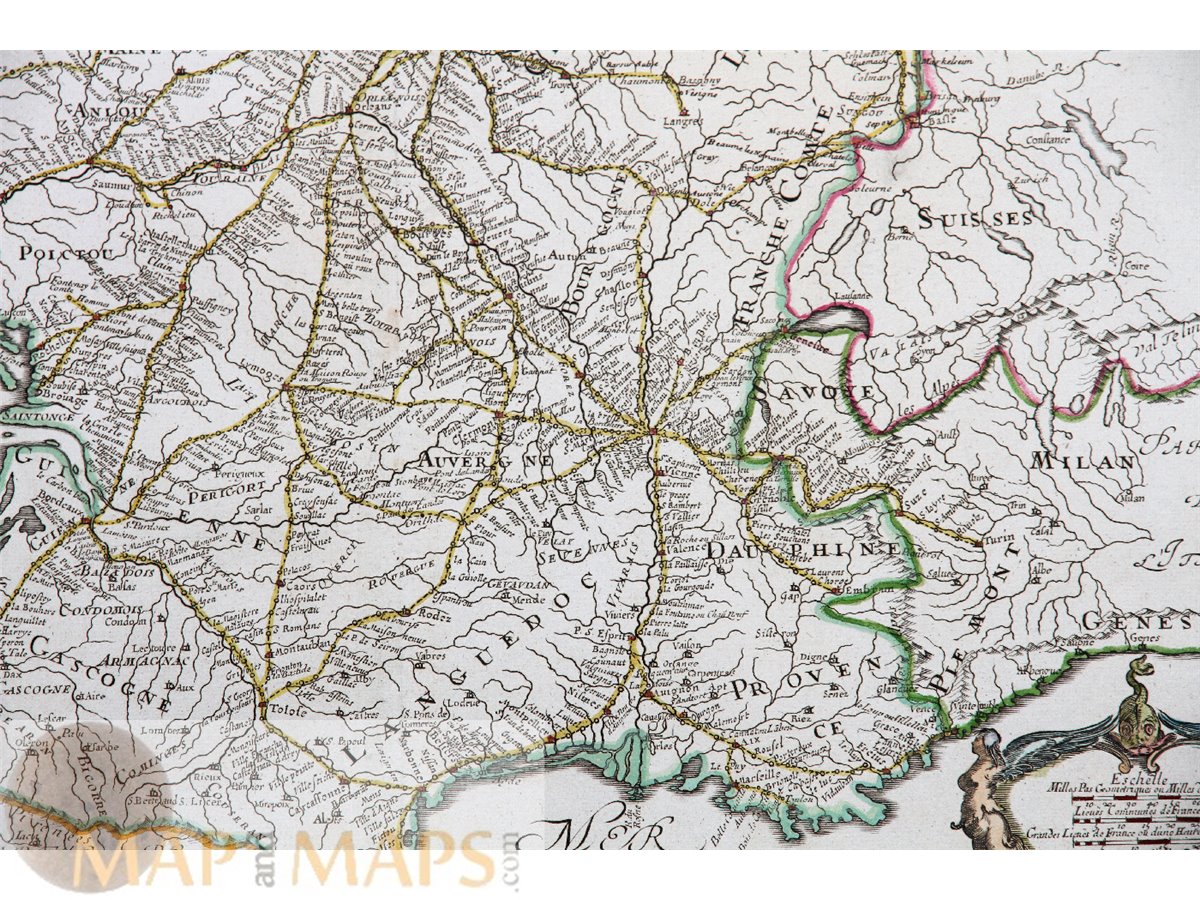
Description: Beautifully detailed antique postal map of France divided into provinces, with a decorative title cartouche, mile scale and coat of arms. The map shows routes between the main centers of the time: Paris, Lyon, Rouen, Toulouse, Bordeaux and other cities.
Engraved map in copper plate on laid paper with watermark, in bright outline colours. The cartouches are different from those of the 1632 map, and the information box is missing due to the change in history. Rare colored engraving.
Cartographer: Nicolas Sanson (1600–1667) was a French cartographer. He was born of an old Picardy family of Scottish descent, at Abbeville, on the 20th (or 31st) of December 1600, and was educated by the Jesuits at Amiens. He was appointed as Ordinary Geographer to the King.
16th -17th -18th-19th Century maps & atlases & prints. We sell guaranteed Absolutely Original authentic Maps and Prints. A Certificate of Authenticity ( COA ) will be supplied on request.
Sheet app.: 21.5 x 18 inch. - 55 x 45.5 cm. Image: 21 x 16 inch. 53 x 41 cm. Condition: Nice map in good condition, small restorations, nice coloring.